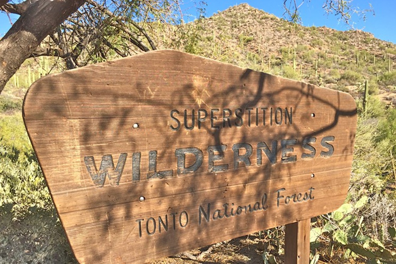
Encompassing more than 160,000 acres and roughly 180 miles of trail throughout, the once volcanically charged Superstition Wilderness Area provides a rugged and flourishing set of trails that will take you through canyons, around and over beaming pools of water, and to the tops of mountains for some spectacular views. Which is all to say: It offers up an amazing set of adventures, a historical sense of mystery, and an incredible display of flora and fauna in the metro Phoenix area.
Not sure where to start? Not to worry: Here are four great hikes that show off the diversity of this magnificent wilderness area.

Rocky water crossing of Hackberry Spring Loop. This trail highlights the immense diversity of the desert in a quick 5.5-mile trek.
Sara Palmer
Hackberry Spring Loop
Distance: 5.5 milesLevel of Difficulty: Easy to Intermediate
Average Time: 3 hours
This hike begins at the First Water Trailhead, and presents a nice, easy path through the western part of the wilderness area. Don’t be misled by the degree of this hike: This trail highlights the immense diversity of the desert in a short 5.5-mile loop. It starts with a quick water crossing, followed by a trek through a large meadow. The dirt trail becomes reddish in color, reminiscent of the Sedona red rocks, in an area is called Garden Valley. It will weave you through forests of cholla and mesquite trees.
The trail will then take you through rolling hills showcasing saguaro forests as far as the eye can see. You'll arrive at canyon walls striped in lime green, rusty brown, yellow, and orange hues, with deliberate charcoal seams that cut vertically down the walls. It's a visual reminder of the volcanic destruction that made this wilderness area what it is today. From there, you'll catch a glimpse of the creek as the trail takes you over smooth rock platforms holding pooling water alongside giant boulders and rocky creek beds. Pack some snacks or a lunch, and take time to enjoy the medley of terrain this loop offers.

There's an unbelievable view from the summit of Bluff Spring Mountain.
Sara Palmer
Bluff Spring Mountain Summit
Distance: 9.5 milesLevel of Difficulty: Intermediate
Average Time: 5 to 6 hours
This summit hike provides a great day trip while traversing the distinctively diverse terrain of the wWestern Superstitions. Just under 10 miles, this out-and-back hike begins at the Peralta Trailhead. Follow the sign to Bluff Spring Trail, and you're on your way. There will be a nice bit of elevation gain right from the start, offering up great views of Barkley Basin and lush wildflowers in the spring. Right around the halfway point, a perfect view of Miners Needle comes into sight. From here, you will continue upward until reaching a mesa, and straight ahead is your summit. You will need to cross the mesa first, though — keep on the lookout for cairns, as the trail tends to disappear and the low-lying cacti can make for a tricky crossing. From the base of the summit, you have a quick 300 feet until reaching the top. The summit views are unbelievable and will most likely have you feeling on top of the world.

Would you believe there's a 196-foot waterfall in the Superstition Wilderness Area?
Sara Palmer
Reavis Falls
Distance: 14 milesLevel of Difficulty: Advanced
Average Time: 8 to 9 hours
If you're up for a day of adventuring, this hike is for you. From the trailhead, look to the north for a great view of Apache Lake. Starting out at 4,200 feet, you will begin a 3-mile ascent before dropping 1,650 feet into the canyon. At the bottom of the canyon, you will reach a creek. Be prepared to cross the creek several times before reaching the waterfall — and then again on your way back out. There is some strategy involved in crossing, as the trail tends to disappear and reappear from side to side. Again, keeping an eye out for cairns will be most helpful during these crossings. Levels of water will vary depending on season and average rainfall, and this will also affect water levels along the creek. As with any trail dropping into a canyon, the diversity of this hike is outstanding. From lush meadows to mesquite forests to rugged creek beds and rocketing canyon walls, this hike tends to rank on the side of unforgettable. It's a fairly difficult 14 miles with approximately 3,170 feet in total elevation gain, but it's well worth it to see a waterfall standing at 196 feet — almost 30 feet taller than Niagara Falls.

A mailbox sits at the summit of Picketpost Mountain. Note the view of Weavers Needle in the upper right corner.
Sara Palmer
Picketpost Summit
Distance: 5.2 milesLevel of Difficulty: Advanced
Average Time: 4 hours
This summit hike is short, steep (just under 2,000 feet), and exceptionally sweet. The views from the top are beyond impressive and include Four Peaks, Weavers Needle, and, on a clear day, the Catalina Mountains of Northern Tucson. This trailhead starts out on the Arizona Trail, although it is a quick stay before quickly turning off toward Picketpost Mountain. At this point, you are on your way upward. The hike follows a ravine to the summit, and it is important to keep on the lookout for cairns, as the trail tends to disappear and involves a considerable amount of scrambling. Remember to stop and enjoy the views on the way up, as they are incredible in terms of the quick gain from the trailhead. Just before the summit comes a lush mesa, and then there's a mere 300 feet to the summit. Once the red mailbox, a famed landmark of this summit hike, comes into view, it's time to set down your pack and enjoy the panoramic brilliance you have earned. That’s right, you have made it to Picketpost Summit. Now would be a good time to high-five yourself and/or fellow hikers.
This article originally appeared in 2016 and has been updated.