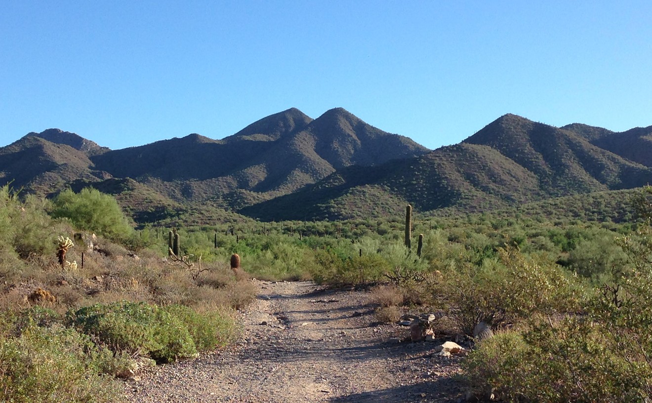
Every time I've hiked through this area (part of the Phoenix Mountain Preserve, northwest of Piestawa Peak), I follow a different path.
For this hiking review, I'd love to tell you exactly where we entered and exited the Dreamy Draw trails but this tangle of winding paths has too many intersections to keep things straight.
Which is what makes Dreamy Draw so great -- it is perfect for a whimsical wander through the desert. Get there by taking the 51 to Northern Avenue and head east. After the gate, the road will twist around for a bit until you reach the large parking lot that is heavily populated with all walks of life...and I mean all of them. But I'll get to that later.
Take the stairs from the parking lot, past the ramada to the wide, paved sidewalk that runs along the east side of the lot and heads north for almost two miles. Walk along the path and you'll come across many tiny entries into the park along the east side. Just pick one and start trekking.
We entered on the #220 trail. If you choose to stay on this trail, you'll experience a 1.5 mile loop that climbs up a small hill. But you'll have to be religious about your navigation. Many other trails (most are unmarked and provide shortcuts) interrupt the trail and it's easy to lose track of exactly where you are.
At least, that's what we thought we did.
Hiking Partner has traveled these trails more than I, so she's familiar with how to get around these parts. But the times I've headed out alone, I just wander around until I find my way back. The mish-mash of intersecting trails are so close to one another, it's easy to get to a high point and trace your desired path. In other words, if you want to get back to the parking lot, climb a hill, find a trail that heads west, and follow it.
If you're obsessed with navigation, I suggest purchasing the Green Trails Maps Phoenix Mountain Preserve map. It is seriously the best map I've ever found. I picked mine up at REI and bought one as a present to Hiking Partner. It changed our lives.
Anyway, after the #1A brought us back to the sidewalk, we followed it north. Then we ran into a rattlesnake. That was a first for both of us. And, I must say, that rattle sound is really effective. God bless evolution.
Distance: Whatever you want. I think we went about a mile.
Time: Again, this is totally up to you.
Elevation: You can get up to 1680 ft. along trail #100
Hiker's Tip: Whatever you do, don't wander along the wash that sits west of the parking lot. We've witnessed a lot of men wandering in and out of that area. They usually don't wear work-out clothes or hiking shoes. And, many times, they emerge from the bushes smoking a cigarette. Yep, all walks of life.
Check out our other recent hiking news/reviews:
North Mountain Summit Trail
Parking Fees to be Enforced at Local Trails
Mojave Trail
Shaw Butte
Lookout Mountain
Quartz Ridge
Kiwanis Trail
Picacho Peak