
Abbee Day/Flickr/CC BY-NC-ND 2.0

Audio By Carbonatix
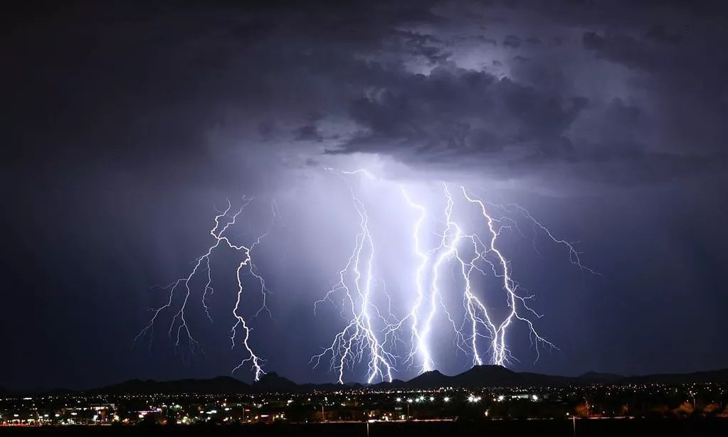
The 2025 monsoon season is going out with a bang.
In what may be one of the last storms of this year’s monsoon, the Valley enjoyed sustained thunderstorms Wednesday night and into Thursday morning. Though the National Weather Service recorded only .03 inches of rain at Phoenix Sky Harbor International Airport yesterday, other areas of the Valley got fairly drenched.
Here, via the interactive map kept by the Maricopa County Flood Control District, is a look at which areas endured the biggest downpours.
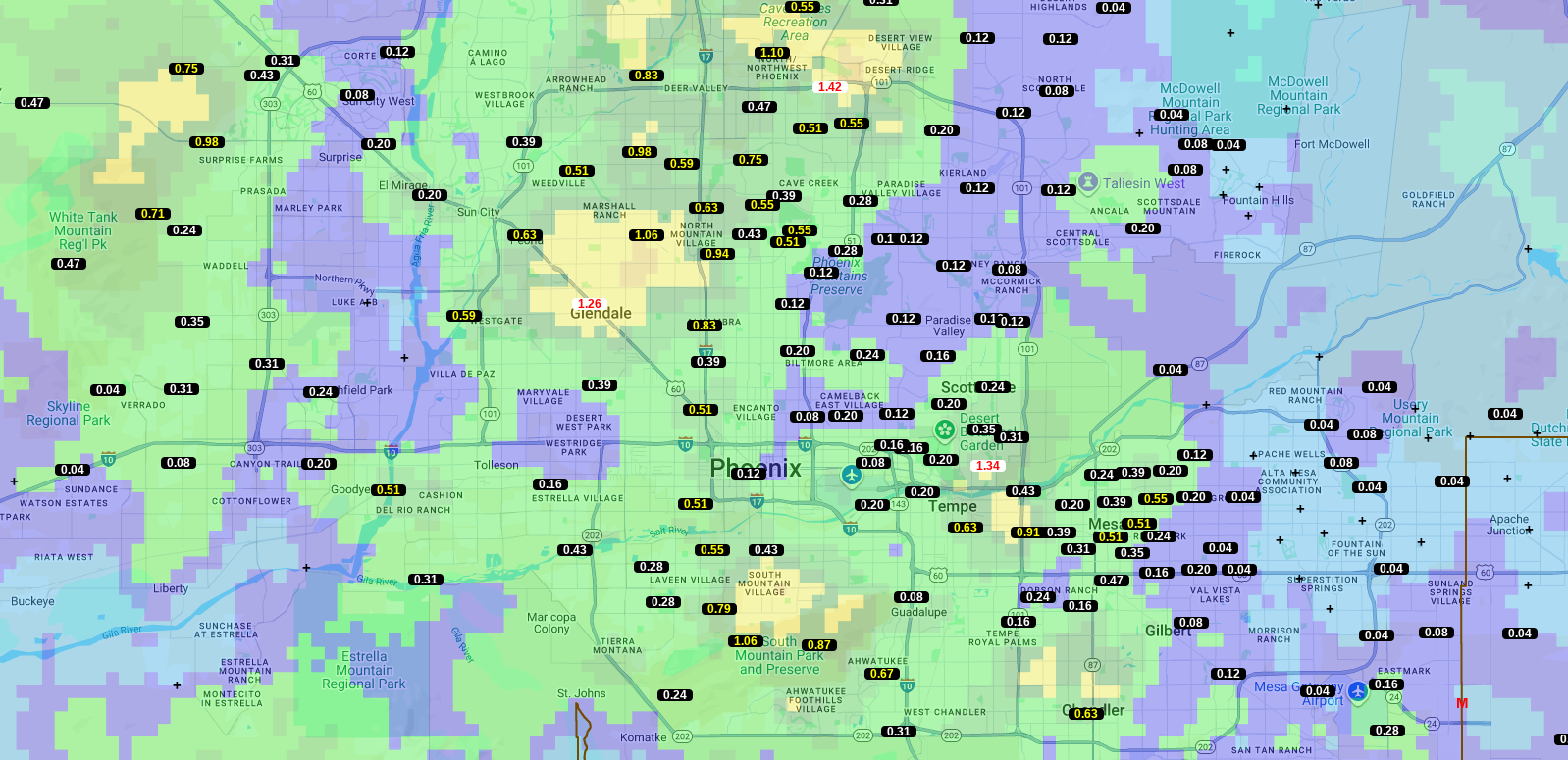
Maricopa County Flood Control District
1. Desert Ridge: 1.42 inches
Areas of northwest Phoenix got from a half-inch of rain to nearly an inch and a half by Desert Ridge.
2. North Tempe/South Scottsdale: 1.34 inches
We hope the flora at the Desert Botanical Garden were thirsty, because the storm dropped more than an inch of water on them. Areas just north of the garden didn’t get much rain, but other areas of Tempe received a fair amount.
3. Glendale: 1.26 inches
A large swath of the northwest Valley received a large amount of rain, with 1.26 inches falling over State Route 60 and close to an inch falling further north and in areas along Interstate 17.