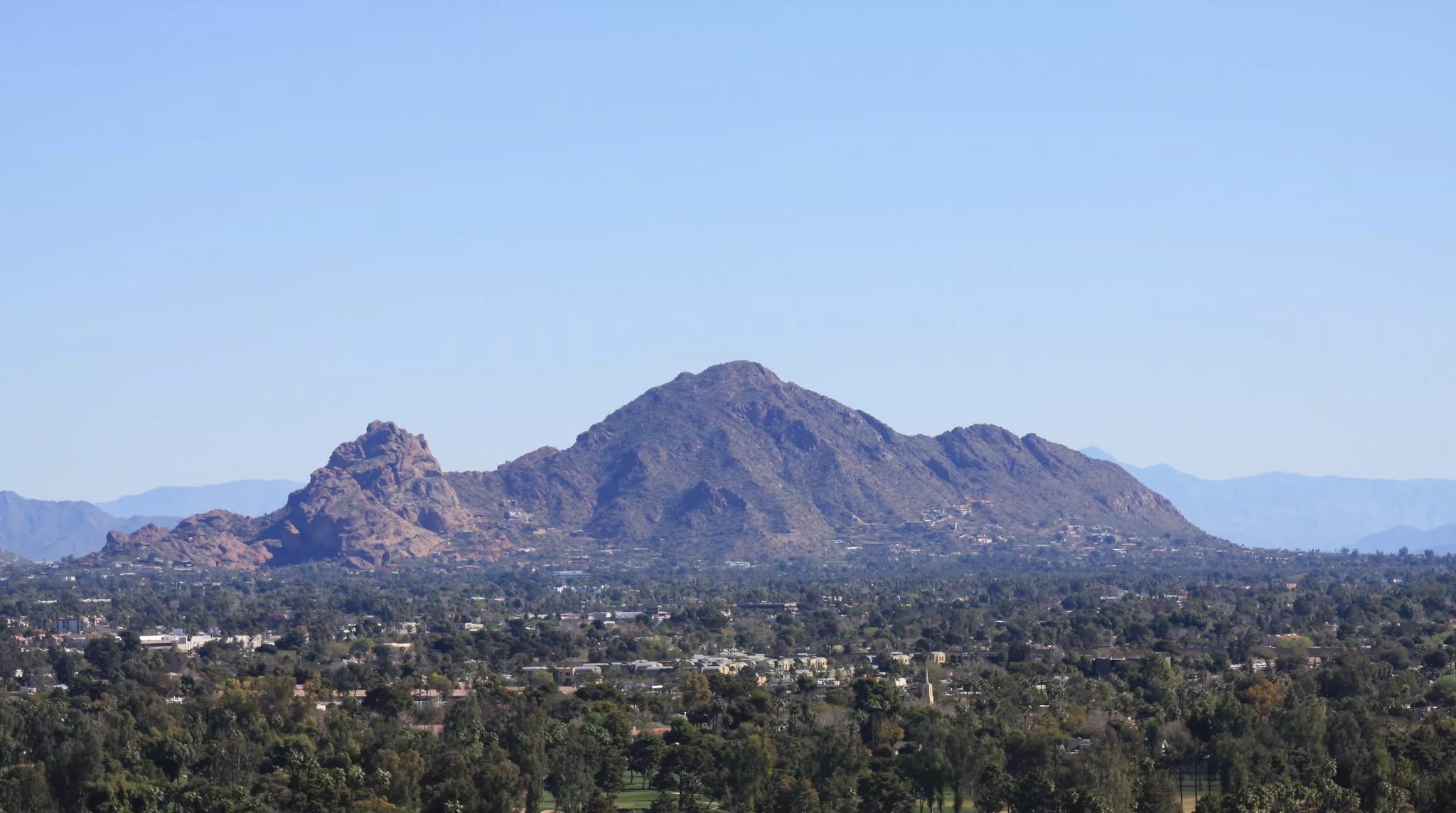
H Babs/Flickr/CC BY-NC-ND 2.0

Audio By Carbonatix
The La Niña weather pattern is coming to the United States this winter, and Arizona is set to get cooler and drier. But that cooldown isn’t here for good yet.
La Niña is a cold-weather pattern that pushes the jet stream northward. It occurs only every few years. This year, a weak La Niña has a 60% chance of emerging and persisting through the winter, according to National Weather Service meteorologist Katherine Berislavich. In Phoenix, the effects of the climate pattern likely will occur during November and December.
“We’re just so neutral right now,” Berislavich said, adding that Arizona still should see “drier conditions, along with cooler weather” due to La Niña.
Unrelated to La Niña, Phoenix should cool off over the weekend due to a low-pressure system, with daily highs sometimes dipping below 80 degrees. The Valley also could get heavy winds and some rain.
“We are starting to see a gradual cool down in temperatures,” Berislavich said. However, she added, “that cool stretch isn’t going to last us too long.” As the low-pressure system moves off early next week, temperatures probably will return to the mid-90s.
Still, that will be a reprieve from what has been a brutally hot year – one that has seen 142 days hotter than 100 degrees, just three days short of the record set in 2020. This summer also holds the record for the most 110-plus-degree days at 70, which is 15 more than the previous record set last year.
This is crazy pic.twitter.com/vcZ70p0Ecx
— Michael Thomas (@curious_founder) October 15, 2024
And while it’s possible Phoenix has seen its last 100-degree day of the year, Berislavich said another “definitely can’t be ruled out.”
The area’s latest 100-degree day in recorded history was in 2016, when triple-digit temperatures persisted through Oct. 27. Last year, Phoenix returned to double-digits for good on Oct. 21.