

Audio By Carbonatix
Keep Phoenix New Times Free
We’re aiming to raise $10,000 by April 26. Your support ensures New Times can continue watching out for you and our community. No paywall. Always accessible. Daily online and weekly in print.
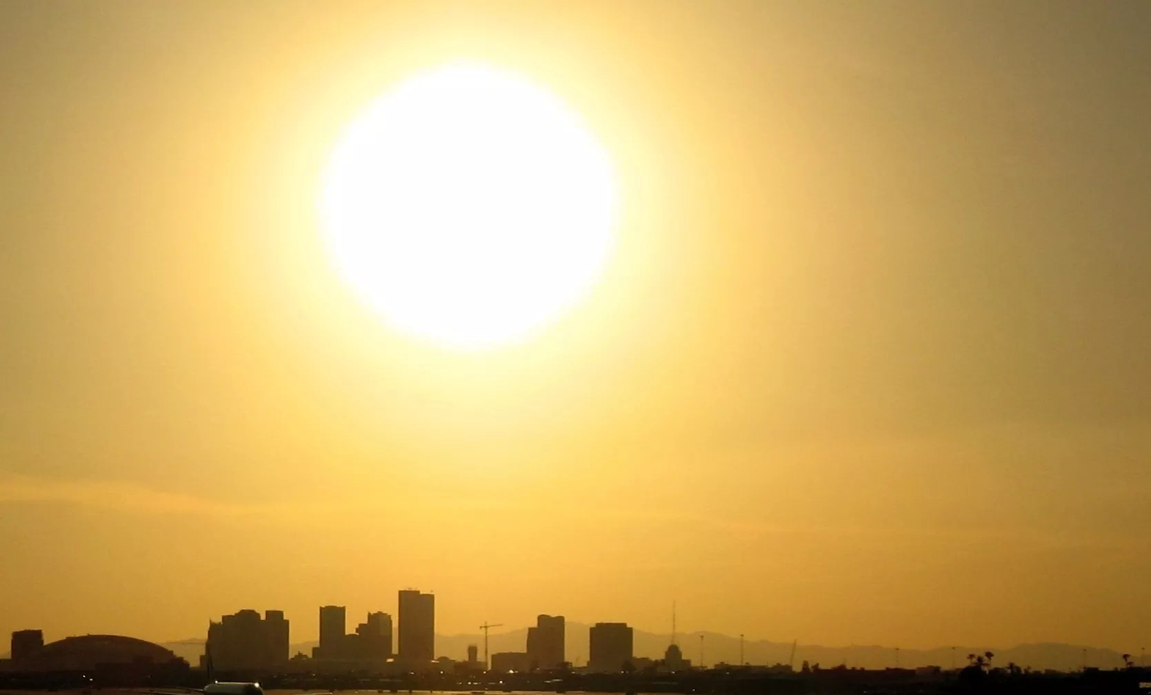
The burst of rainfall on Tuesday evening may have left Valley residents hopeful for a cooler, longer spring. But that’s unlikely to last more than 48 hours. Instead, residents should bring out their sunshades and umbrellas to prepare for a mid-March heat wave.
A high-pressure system coming into the Valley is expected to bring triple-digit temperatures by Saint Patrick’s Day, which would be the earliest 100-degree day — by more than a week — in Phoenix’s recorded history, said National Weather Service meteorologist Gabriel Lojero.
“It’s actually going to be historic, because not only is the Phoenix area going to see these record-breaking temps, it’s going to be much of the Southwest U.S,” Lojero said. “We have very high confidence of record-breaking temperatures. All the models agree on this record strength high pressure that’s going to build across much of the West.”
According to National Weather Service data, since 1980, the average first date of triple-degree temperatures is April 29. But Phoenix has seen 100-degree days as early as March 26, when temperatures hit triple digits in 1988. Temperatures hitting 100 degrees in early April aren’t uncommon.
With rising temperatures, NWS Phoenix lead meteorologist Sean Benedict warned that people should take precautions to avoid being caught off guard by the heat. That means wearing light, loose clothes, staying out of the sun, using sunscreen and drinking “more water than you think you need.”
“Even though we commonly see these triple digits in the summer months, given that our bodies are not acclimated to this level of heat just yet, it’s going to be impactful,” Lojero added. “People need to take this seriously. This is not a run-of-the-mill weather pattern we’re going into.”
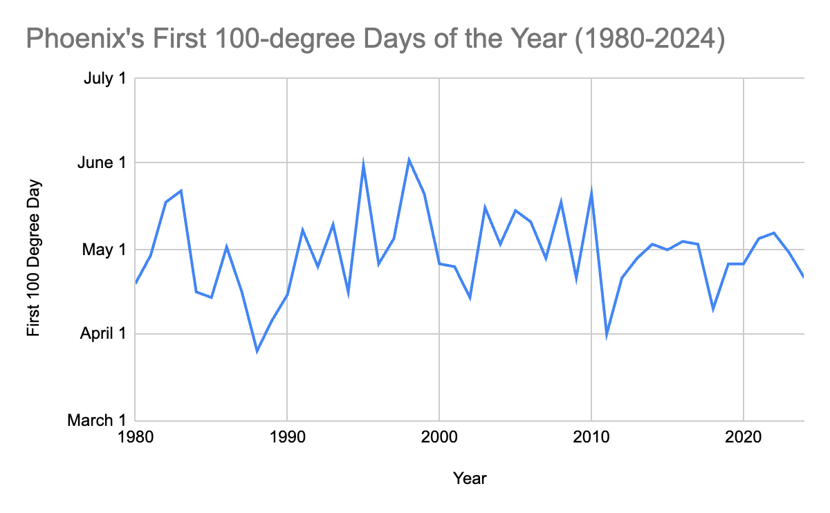
Data: National Weather Service
When was Phoenix’s earliest 100-degree day?
Dating back to 1896, the earliest that Phoenix saw a 100-degree day was in 1988, when the city reached the mark on March 26. The rest of 1988 had reasonably average temperatures, starting out “a bit warm” but “fluctuating a lot,” Benedict said. After boiling in late March, Phoenix sat in the mid-60s in mid-to-late April that year.
Last year, the first 100-degree day was on April 10. The year ended up being the second-hottest year on record, trailing only 2024.
What’s the Phoenix forecast going forward?
After the hottest February on record, it might have been foolish to believe March would be any cooler. So far, it hasn’t been.
For the first week and a half, it’s been 8.2 degrees above normal for March in Phoenix, as the first few days began in the lower 90s. Typically, the average temperature in Phoenix for March is in the upper-70s and goes into the lower-80s by the end of the month.
Still, March is only expected to get warmer as a high-pressure system with “record-breaking strength” moves into the city, Lojero said.
Temperatures are expected to reach “well into the 90s” by the end of the week, then remain in the 90s or higher for the next two weeks, with temperatures expected to reach triple digits in a week that will extend through the rest of the week, Lojero said. Temperatures will be 15 to 25 degrees above what is normally expected for the time of year.
“Our temperatures are typical for late May and early June,” Lojero said of what’s expected for March. “Late spring, early summer. So basically, two months ahead of schedule.”
Eventually, temperatures will cool down back into double digits, Lojero said, but “it’s probably going to take a while for them to occur.”
Typically, in April, temperatures average at around 82 degrees, before rising to 89 degrees by the end of the month, according to the National Weather Service’s Climate Prediction Center. Phoenix begins seeing frequent 100-degree days by the end of May.