It's hard to find a bad place to watch the sunrise in Phoenix, because the desert sky consistently delivers an impressive constellation of colors with an orange sherbet aesthetic. But when we want to see more than a bit of sky, and really take in the sunrise surrounded by the whole city and a vast urban landscape, we head to Camelback Mountain. It's the best place to get a 360-degree view, and the sunrise feels like more than just a collection of shifting forms and life. Here, sunrises remind us of deep connections to the land and the vast expanse of humanity. The view is especially sweet because you have to hike a challenging trail to get there, and the time it takes really allows for centering your thoughts and emotions beyond a cacophony of speed and noise.
Best Daytime Bacchanal
Waste Management Open

The vibe at the annual Waste Management Open golf tournament can be summed up in a February 12 tweet by local sports journalist Dan Bickley: A man in a T-shirt, shorts, and a backward baseball cap lays face-down on the grass, his head encircled by a bottle of water, a Miller Lite, and a mixed drink. "Down goes Frazier!!! (It's 10:19 am)," Bickley wrote. Undoubtedly, some of the thousands of visitors to the Waste Management Open come for the golf. But to the casual eye, most of the attendees are there to party, and party hard. We ourselves have been known to spend a lost afternoon in one of the corporate tents or at the notorious 16th hole (a.k.a. the party hole), where all-you-can-eat buffets and far too many free drinks meet people of all ages who are excited to not be at work. All in all, the beautiful winter weather and yes, even the golf, make for an excellent backdrop for the best daytime party in town.
- 17020 N. Hayden Rd., Scottsdale, 85255 Map
- 480-585-4334
- www.tpc.com/tpc-scottsdale
Best Scenic Hike
Butcher Jones Trail
To be fair, pretty much every hike in metro Phoenix is a scenic hike. But for us, nothing tops Butcher Jones Trail, a fairly easy hike northeast of town. Start out by buying an $8 Tonto Pass (it's required to park at the Butcher Jones Recreation Site, and can be purchased at a number of stores). Park, admire the beach that leads to Saguaro Lake, and then get going. Butcher Jones is an out-and-back trail that's about 2.5 miles each way and is rated easy to moderate. We love the early stretch at lake level where we duck our heads through a dimly lit forest of short trees, but the trail really gets going when you start to climb the cliffs surrounding the lake. As you gain elevation, the views of the lake and surrounding mountains get more spectacular. Keep an eye out for wildlife; we've seen all sorts of lizards, birds, and even some mountain goats. The trail dead-ends at Burro Cove, where you can sit on a rock, take a few pictures of Four Peaks, and admire the shining blue waters before heading back to your car. Pro tip: Try to hit the trail during wildflower season in March and April, when the array of colors make the trek even more beautiful.
- E. Butcher Jones Beach Rd., Fort McDowell, 85264 Map
- www.fs.usda.gov/recarea/tonto/recarea/?recid=35415
Best Hike for People-Watching
Pinnacle Peak Trail

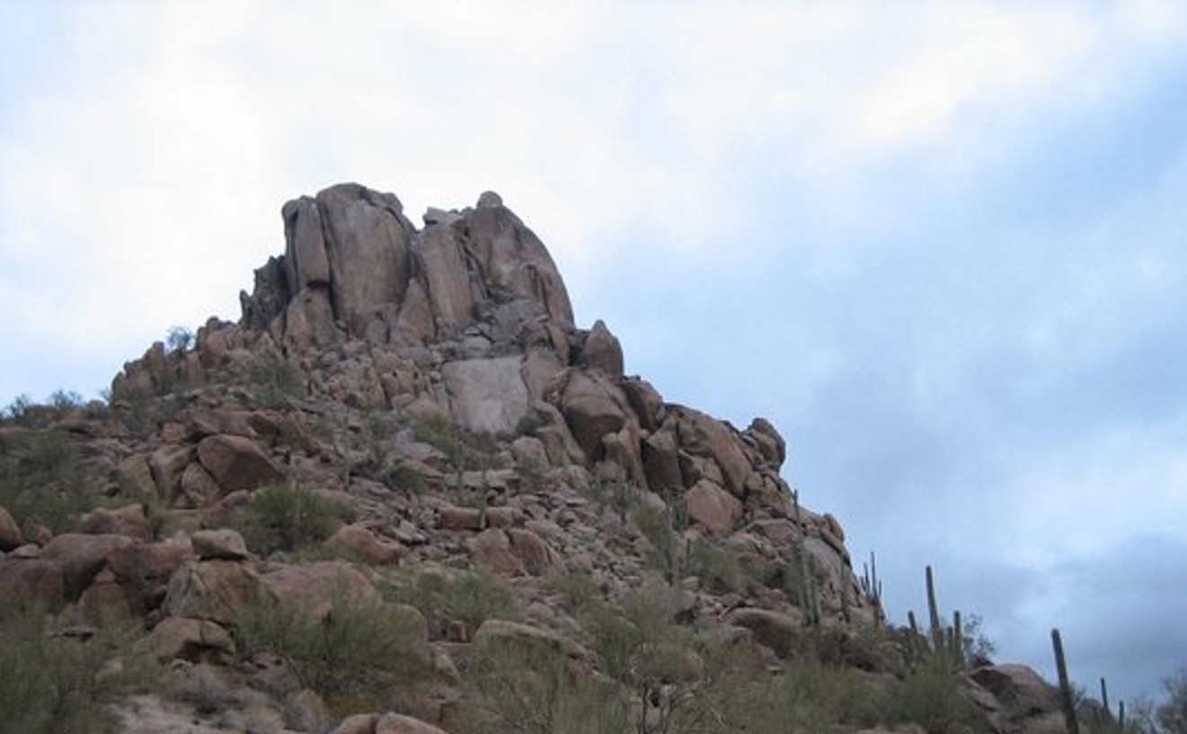
We see it all the time when tooling around north Phoenix or Scottsdale: Pinnacle Peak, sticking up into the sky like a beacon. The bad news is that technically, you're not allowed to climb the actual peak, but the hiking trail that wraps around it is one of the more popular in town — which makes it great for people-watching. Park as close as you can to the trailhead (during the busy times of day and on the weekends, the walk to the entrance can be a slog in and of itself), then set off on your journey. The trail is an out-and-back hike that's about 1.75 miles each way with a decent amount of elevation gain, so if your pace is slow, you've just got more time to observe Scottsdale cougars, boomers with walking sticks, wiry shirtless dudes running up and down the path, and tiny children with their parents whose pace makes you feel bad about your fitness level. Depending on how you feel, you may want to heed the sign you'll encounter close to the turnaround point that reads "Strenuous From This Point" and start heading back early — we know from experience that the sign means what it says.
- 26802 N. 102nd Way, Scottsdale, 85262 Map
- 480-312-0990
- scottsdaleaz.gov/parks/pinnacle-peak-park
Best Easy Hike
Kiwanis Trail

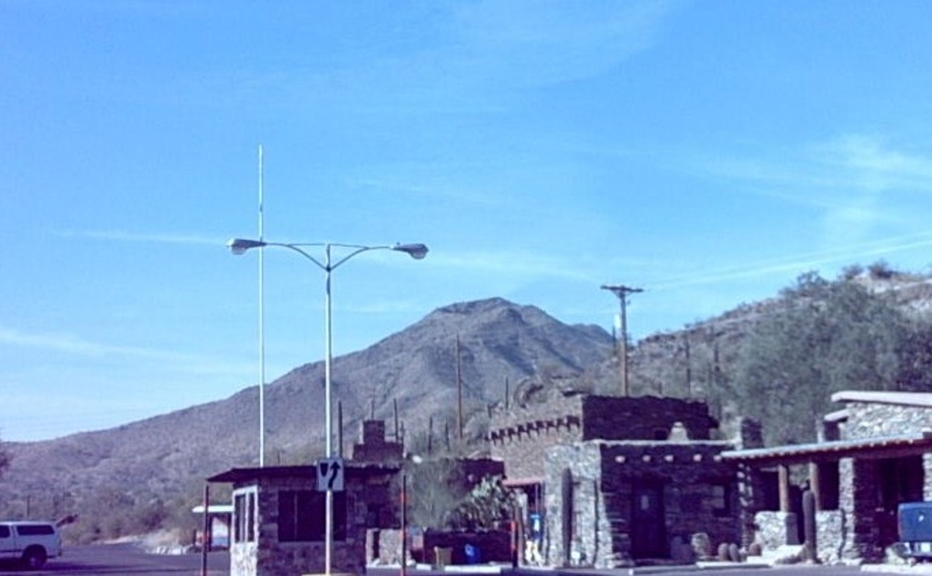
This is the kind of trail that makes hiking a joy, not work. It can be busy, but because it takes a bit of drive to reach, it never gets the hordes that ascend Camelback Mountain or Piestewa Peak. It follows a gully for a mile, climbing 480 feet to Telegraph Pass Road. If you want a bit more exercise, you can climb the steep half-mile more to the old mini castle that is the Telegraph Pass Lookout. The trail undulates, with a nice mix of up and down, with shady spots to rest all along the way. The varied terrain is nice, but the views seal the deal. Coming back down you're treated to one of the most magnificent views around: downtown Phoenix framed by a notch in the mountains. The view from the castle is spectacular. You can see all of the Valley in one direction, as far as Pinal County in the other, and above you the radio towers atop South Mountain. Because the hike isn't that strenuous, those annoying fitness freaks that can ruin the experience elsewhere tend to stay away. After your leisurely 60- to 90-minute jaunt, you still have the energy to enjoy your day or sample some of the hidden treasures around south Phoenix.
- 10919 S. Central Ave., Phoenix, 85042 Map
- 602-262-7393
- www.phoenix.gov/parks/southmnt.html
Best Tough Hike
Camelback Mountain
It's hard to believe that the most visited place to hike in the Valley is smack-dab in the middle of the city — barely 10 miles from downtown Phoenix. But just because it's popular doesn't mean it's easy. You've got two trail options to climb Camelback: Cholla, which is longer but a bit easier, and Echo Canyon, which is shorter but steeper and more challenging. Whichever you choose, strap on hiking boots and bring plenty of water no matter what time of year you go, because you'll quite literally be climbing, or clambering, your way up. But your determination will pay off when you reach the top, as the views of metro Phoenix are spectacular in all directions. And if you try but don't quite make the summit? Don't beat yourself up. Neither trail is a walk in the park, and you're much better off making it down the mountain safe and sound. When you're ready to try again, Camelback will be waiting for you.
- 4925 E McDonald Dr., Phoenix, 85018 Map
Best Hike That's Barely a Hike
Lost Dog Wash
Maybe you're a little out of shape. Maybe you've got some out-of-town visitors who want to see some local natural beauty without a lot of exertion. Maybe you just feel like taking a gentle stroll through the desert without making a big thing out of it. Whatever the motivation, Lost Dog Wash in north Scottsdale is an excellent choice for a low-impact hike. Located in the McDowell Sonoran Conservancy, the trail has nice restroom facilities at the entrance and good signage throughout. Though you may need to keep an eye on your footing (loose gravel can be found in several places on the trail), you won't encounter much more than some short, gentle inclines (you can barely call them hills). In fact, the most treacherous elements of Lost Dog Wash are the piles of horse poop that often dot the trail. The out-and-back trail is about 2.2 miles each way, which means you can turn back whenever you feel like it, but if you stick it out, you'll be rewarded with some nice views of the area, including Frank Lloyd Wright's Taliesin West. And if you feel a little more adventurous the next time, the same trailhead leads to more challenging hikes such as the Old Jeep Trail and the Sunrise Trail.
- 12601 N. 124th St., Scottsdale, 85259 Map
- 480-998-7971
- www.mcdowellsonoran.org/lost-dog
Best Spot for Recreational Shooting
Desert Shooting Area at Fort McDowell
Many Arizonans take advantage of the opportunities to target shoot on public lands. In the hustling and bustling urban core of Phoenix, that may sound like the makings of a day trip that begs plenty of planning. But just 20 miles northeast of Phoenix, tucked away in a pristine pocket of untouched desert brush off the Beeline Highway just past Fountain Hills, is the Desert Shooting Area at Fort McDowell. It's located on an swath of unruffled land surrounded by picturesque mountain views at the edge of the undeveloped Salt River Pima-Maricopa Indian Community with heart-stirring views of the sprawling Sonoran Desert. Unlike other recreational shooting sports sites maintained by the Bureau of Land Management's Phoenix District, this hidden gem all but guarantees a serene, solitary shooting experience.
Best Place to Throw Axes
LumberjAxes
The 21st-century craving for a constant stream of new experiences and excitement has brought us to this: We now go throw axes for fun. The two Valley LumberjAxes locations blend safety and fun in equal measure (lucky for us — we have terrible aim). You can book a one- or two-hour reservation for four to 12 people, or just walk in, ready to start hurling (after a short session of safety talk and axe-throwing tips, of course). But even though we're not actually very good at throwing axes, the fun with friends always hits the bullseye. The Tempe location sells beer and wine, but if you head to the Westgate outpost, you'll find a full bar ready to serve you.
- 3109 S. Fair Lane #100, Tempe, 85282 Map
- 480-773-6551
- axethrowingphx.com/
Best Zipline
Superstition Zipline
We love the feeling of flying through the air. The wind in our hair, soaring above the ground — we can't get enough. So the Superstition Zipline is just our speed. Located at the ultra-cheesy but fun Goldfield Ghost Town tourist attraction way the hell out there in Apache Junction, the zipline works a little different than others you may have experienced. For starters, you and a friend sit together in a chair rather than being hooked into a line. The mechanism pulls you up and back to the high starting point, then whoosh: You're flying back down to earth. As you ride, you're afforded spectacular views of the Superstition Mountains and the Goldfield Ghost Town complex. The zipline is $12 for your first ride, but the price drops by half from then on, so you may as well buckle in for several trips through the sky.
- 4650 N. Mammoth Mine Rd., Apache Junction, 85119 Map
- 480-982-0075
- superstitionzipline.com/


