Jennifer Goldberg

Audio By Carbonatix
The new year is upon us, which means that metro Phoenix hiking trails are packed not only with seasoned trekkers, but resolutioners aiming to hike more in 2026.
With proper shoes, a good amount of water and comfortable clothes, these five hikes (listed from easiest to most challenging) are feasible for any beginner looking to explore the desert trails in metro Phoenix.
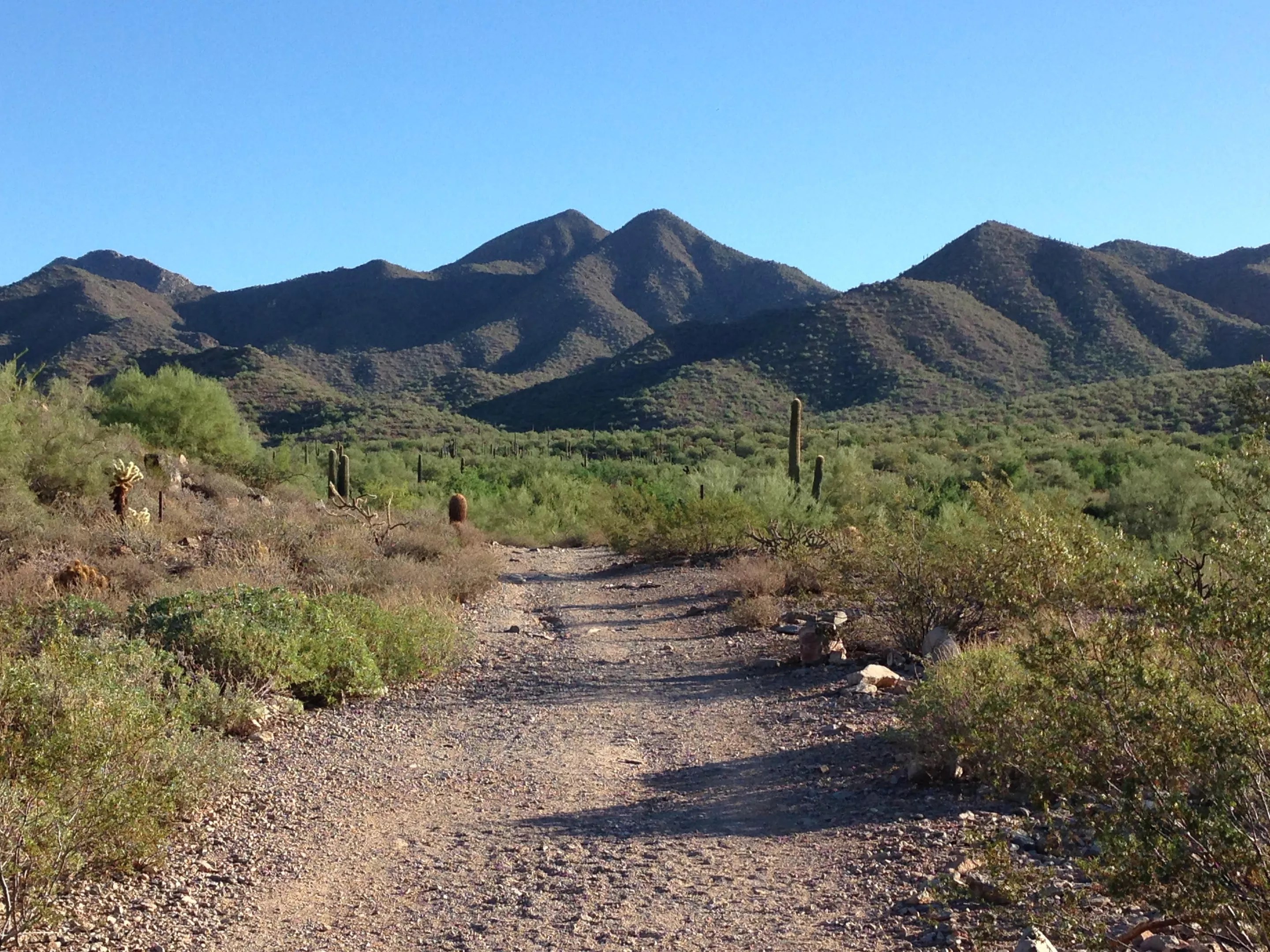
McDowell Mountain Regional Park lets hikers feel very far away from the city.
Jennifer Goldberg
Wagner Short Loop Trail
McDowell Mountain Regional Park, Fort McDowell
A 1.6-mile flat path through the north campground of McDowell Mountain Regional Park, the Wagner Short Loop Trail is crisscrossed with many others that start around here. Despite the slight confusion at various forks in the road, it is a straightforward trail through washes and luscious desert. The path is particularly special in the spring, when the land is covered by huge patches of colorful wildflowers. Take in the views on this desert walk, as the McDowell Mountain range will provide a lovely backdrop to this meandering desert trail.
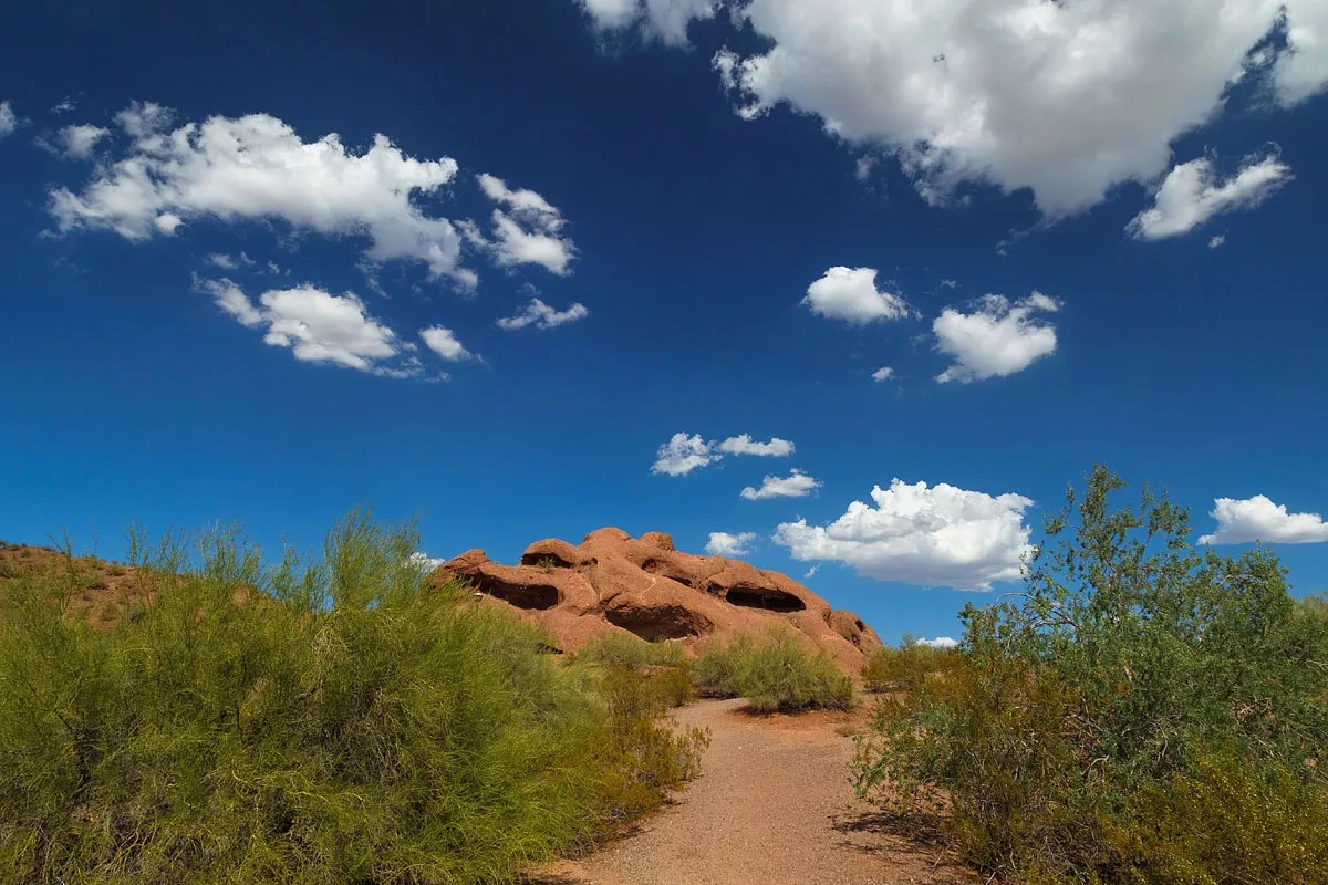
See the iconic rock formations while hiking in Papago Park.
Pritha Photography/shutterstock.com
Big Butte Loop Trail
Papago Park
A multipurpose path that is just over a mile, the Big Butte Loop Trail is easily accessed via nearby popular destinations like the Phoenix Zoo and the Desert Botanical Garden. Circumnavigating one of the larger sandstone buttes in the park, this trail begins at the Elliot Ramada and continues through the dry, red desert of Papago, passing the amphitheater on McDowell and gently curving back to the beginning. A level hike, the path is a geologist’s dream, surrounded by interesting rock formations, though also providing us normal people with lovely views of the Valley and a nice desert escape in the middle of town.
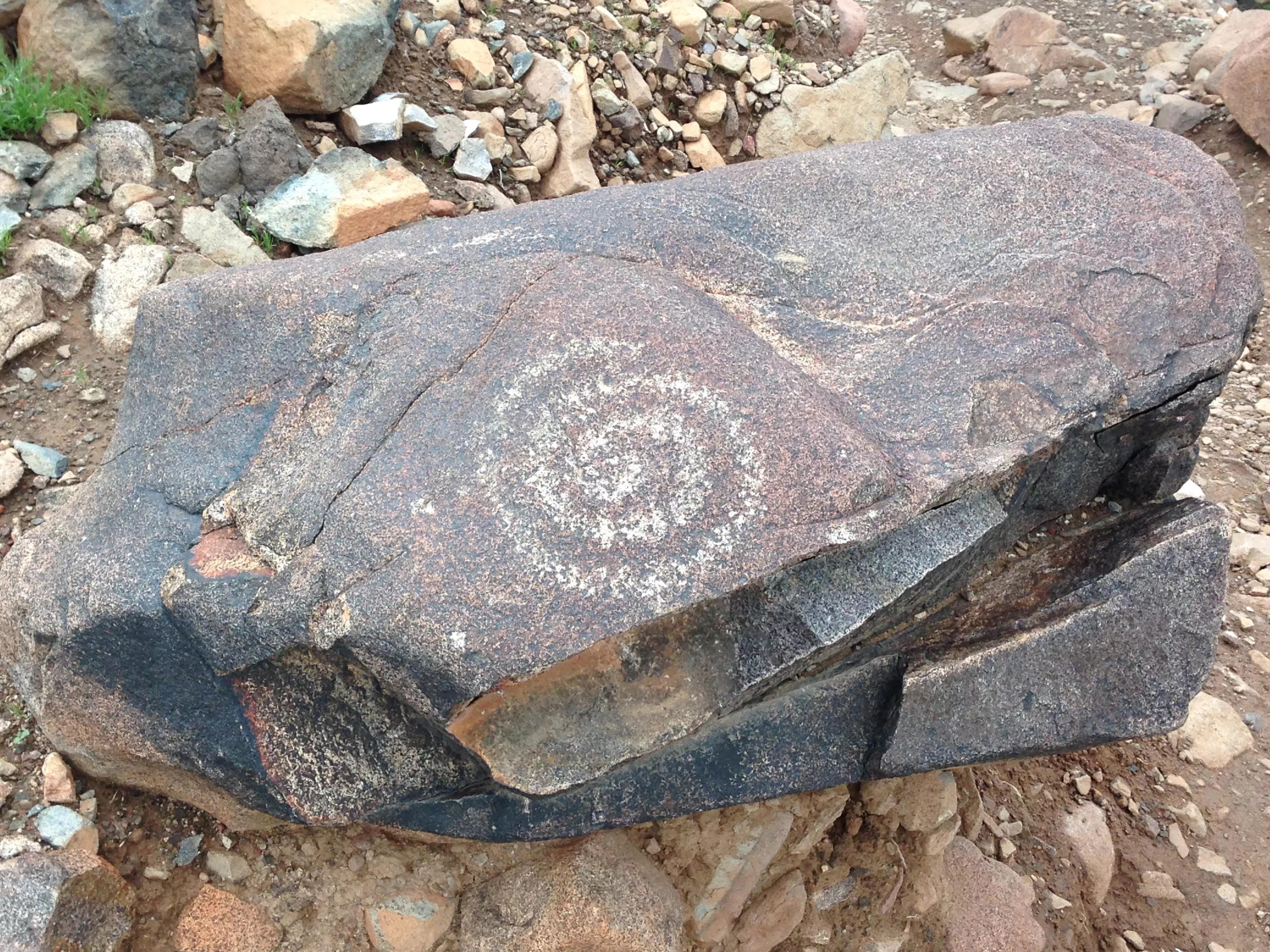
Keep your eyes peeled for petroglyphs while hiking around Lookout Mountain.
Jennifer Goldberg
Circumference Trail
Lookout Mountain
The proximity to hiking trails is one of the best things about living in the Valley, and Lookout Mountain is just one example. The trail is located in a heavily residential area of north Phoenix, and it’s a popular spot with hikers in that part of town. If you’re new to hiking, you may want to stick to the Circumference Trail, which, as the name suggests, is a loop trail that goes around the mountain. The path is 2.2 miles without a lot of elevation gain, but if you want to challenge yourself, you can attempt to summit the mountain (it’s an extra .9 miles up and down and involves some scrambling near the top). While on the Circumference Trail, don’t forget to be on the lookout for some of the petroglyphs that dot the landscape.
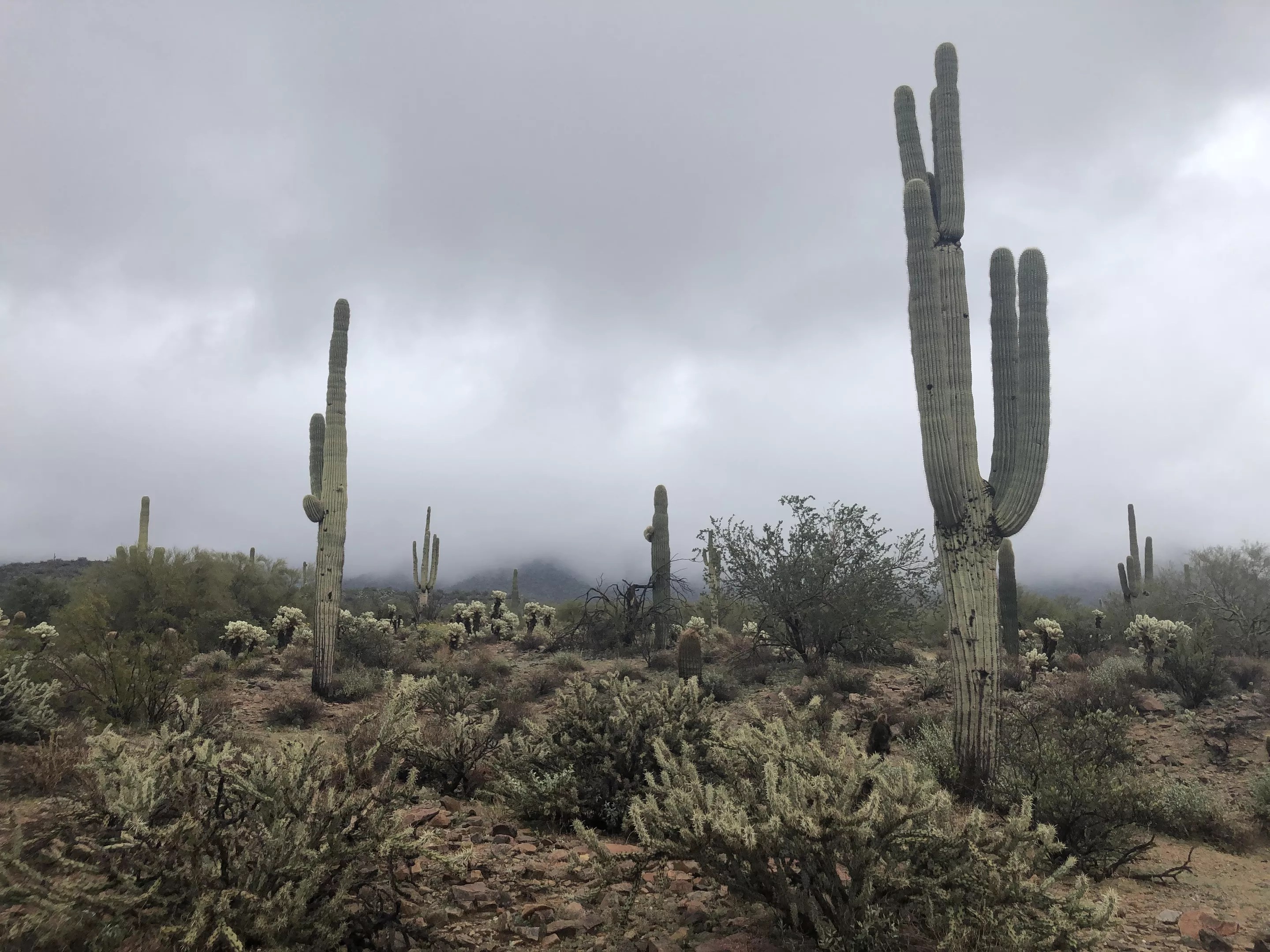
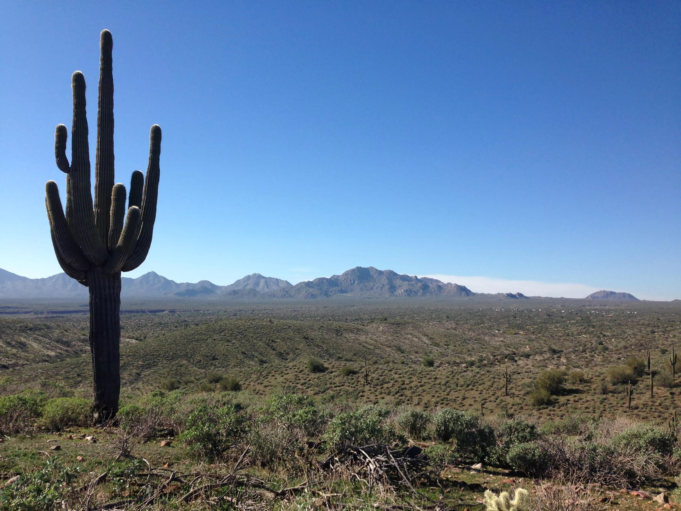
Hike Lost Dog Wash on a rainy afternoon, and you’ll just about have the trail to yourself.
Jennifer Goldberg
Lost Dog Wash
McDowell Sonoran Conservancy, Scottsdale
This out-and-back trail is one of the longer ones on the list (2.2 miles each way), but the terrain has very little up-and-down, making it a good choice for novice hikers. Conveniently located near Shea Boulevard and 124th Street, Lost Dog is a popular trail, and on weekend mornings you’ll encounter people of all ages (some with dogs), mountain bikers and even the occasional horseback rider. The trail ends at an overlook; squint and you can see Frank Lloyd Wright’s Taliesin West. There are several paths that fork off from Lost Dog; when you get a little more sure of yourself, try Sunrise or one of the other trails in the area.
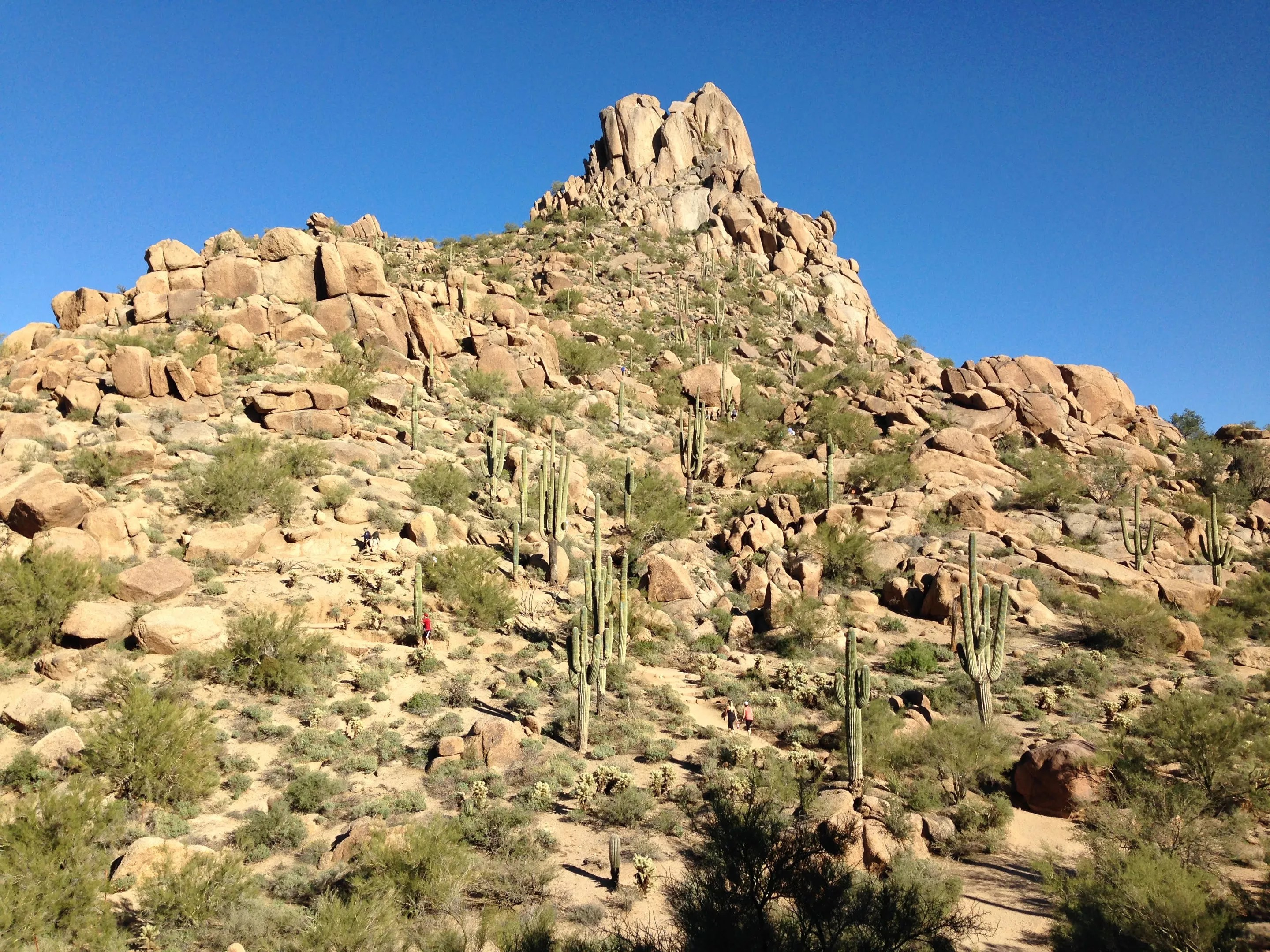
Pinnacle Peak is a stretch for beginners, but the view is worth it.
Jennifer Goldberg
Pinnacle Peak Trail
Scottsdale
An out-and-back trail of 1.75 miles (3.5 miles round trip), this is the hardest and longest hike of the list, but it’s worth it for those beginners looking to start out strong. The well-defined trail is always monitored by the granite sentinel that is Pinnacle Peak. Mixing switchbacks and rolling hills, the trail is a wonderful way to explore the lush desert teeming with wildlife and plant life any time of year. With beautiful views of the north Valley and a unique desert-scape, the trail is worth doing twice — as you will have to when you get to the end and turn around to return to your car.
This article originally appeared in 2013 and has been updated.