
Joseph Flaherty

Audio By Carbonatix
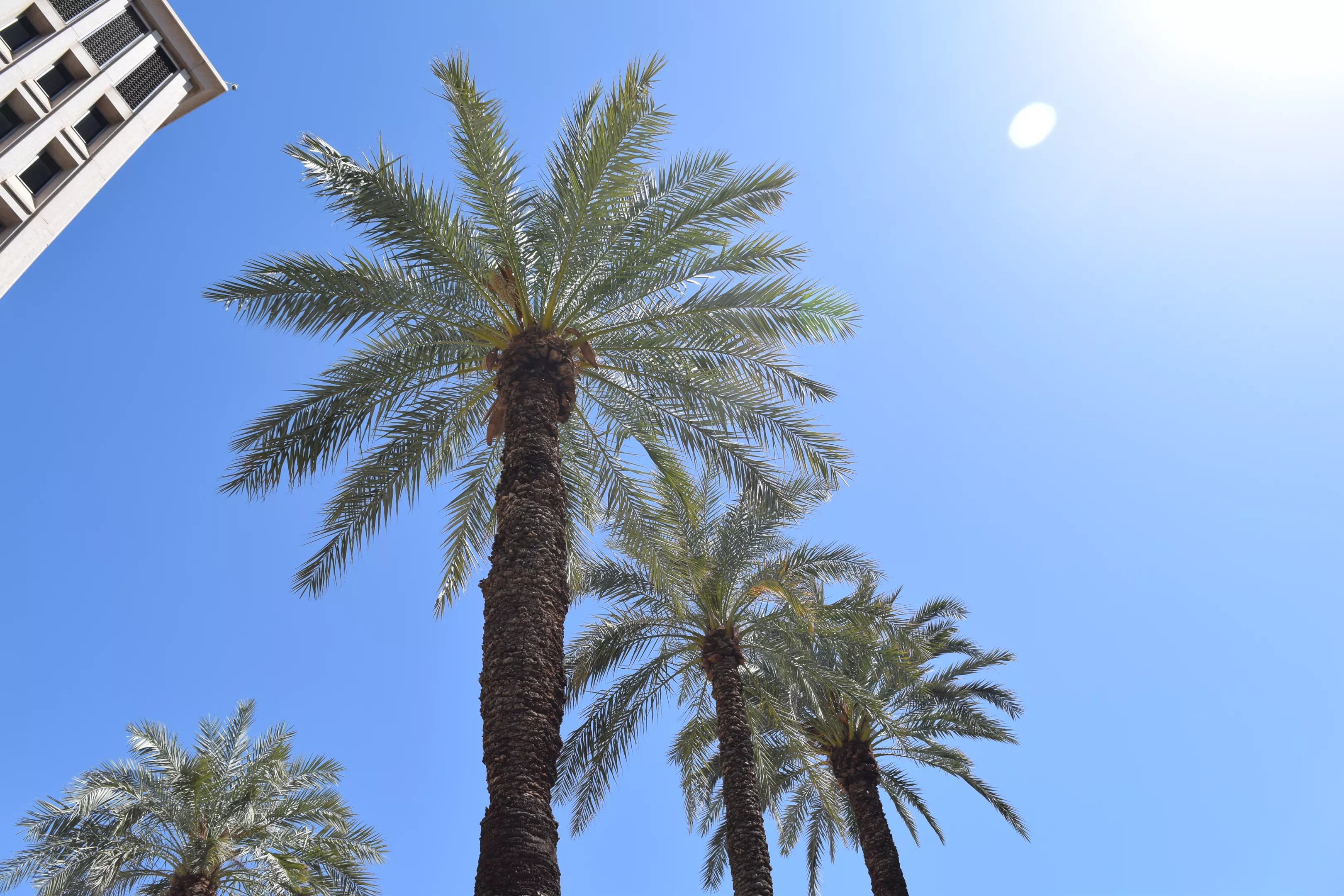
Just about everyone in Phoenix agrees on one thing: According to 90% of residents surveyed by the city, there’s not enough shade.
How bad is it? An interactive map released Wednesday by the Washington Post shows exactly how little tree cover the Phoenix metro area has. The combined area of Phoenix, Scottsdale and Mesa has just 8.5% tree cover, a rate far lower than most places in the United States.
The map utilizes data from the Arbor Day Foundation, the U.S. Forest Service and forestry consultancy PlanIT Geo. Together, the organizations used aerial photos and artificial intelligence to map tree cover in cities all across the country.
“Well, Phoenix is in a desert,” you say. True, many cities with higher tree coverage – New York City (27.5%), Cleveland (33.5%), Tampa (33.9%), Kansas City (34.1%), Memphis (35.8%) and Washington, D.C. (39.7%), to name a few – are in forested areas. But according to the conservation group American Forests, desert cities should have at least 15% tree cover. That means the Phoenix area has just more than half of what it should.
The only major metropolitan area with less tree coverage than Phoenix is Las Vegas, which has 6.8% tree cover.
To its credit, Phoenix is trying to up its numbers. In November, the Phoenix City Council approved $60 million in funding to bring more shade to the metro area and plant 27,000 trees. That will be the city’s second attempt at fixing the problem, though. In 2010, the council approved a plan to shade 25% of the city by 2030, but the plan went nowhere.
According to the Post’s map, shade cover has decreased in the Phoenix metro area by 0.2 percentage points since 2020. By contrast, Las Vegas upped its tree cover by 1.6 percentage points over the same period.
Phoenix spokesperson Ashley Patton told Phoenix New Times that the city has planted more than 31,000 trees in parks and on sidewalks since 2010, but nearly 20,000 have died “due to historic drought and tough urban conditions.” Of course, that doesn’t account for trees that have been planted or that have died on private property.
According to the Post, trees need nearly year-round irrigation to survive, making it difficult to plant and sustain many trees in Phoenix’s bone-dry weather. But trees save lives and have significant environmental benefits, including cooling the artificially hot concrete and asphalt landscapes of an urban area.
But trees tend to be hard to find in poorer neighborhoods. Many neighborhoods in south and west Phoenix, for instance, have a tree cover rate of only 1-3%.
Mesa also started an initiative in 2023 to shade 15% of its city by 2050. As for Scottsdale, tree cover is already pretty good – at least in its wealthier parts. The map displays tree cover data by neighborhood, and most in Scottsdale have around 15% tree cover. The less well-off south Scottsdale neighborhoods seem to have about 6%.
Tucson, on the other hand, has been increasing its tree cover over the past five years by 4.5 percentage points, reaching 14.6%, according to the Post’s map. Its officials have mostly tried planting drought-tolerant trees native to the region, like velvet mesquite. That gives the trees a higher likelihood of surviving.
Arizona’s diverse ecological landscape means its largest communities vary quite a bit in terms of tree cover. Of its top dozen population centers, tree cover ranges from 1.9% in Lake Havasu City in the barren Mojave Desert to 26.2% in Flagstaff, which is in the pine-laden Coconino National Forest.
Here are the tree cover rates for those 12, including their change since 2020.
- Phoenix-Mesa-Scottsdale: 8.5%, down 0.2 points
- Tucson: 8.5%, up 4.5 points
- Phoenix West (Goodyear/Avondale): 6.3%, up 0.2 points
- Buckeye: 4.9%, up 0.7 points
- Yuma: 5%, down 0.7 points
- Flagstaff: 26.2%, up 3.5 points
- Maricopa: 5.8%, up 0.7 points
- Casa Grande: 5.3%, up 0.6 points
- Lake Havasu City: 1.9%, up 0.4 points
- Marana: 10.5%, up 3.1 points
- Prescott Valley: 17.4%, up 1.8 points
- Prescott: 9.2%, up 1.6 points