
Kolostock/Getty Images

Audio By Carbonatix
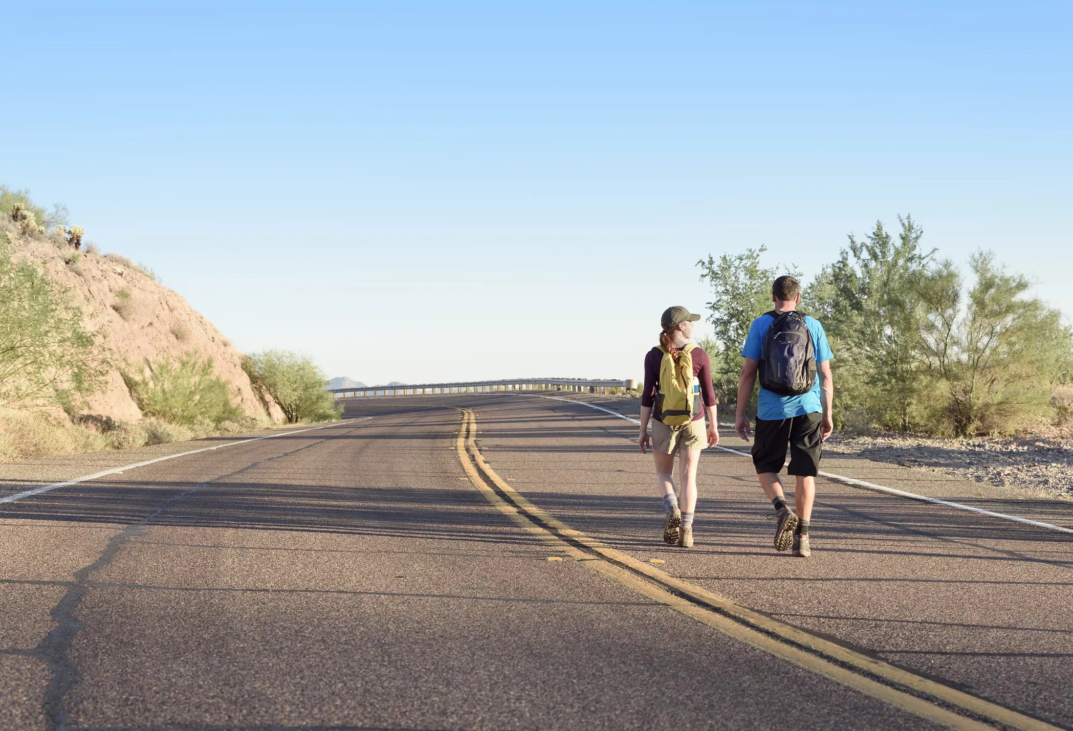
Want to grab groceries or a cup of coffee without risking your life on Valley roadways? As most residents know, that isn’t easy in Phoenix.
Phoenix is the second-least walkable city in America among those with a population of a million or more, according to Walk Score. While the Valley has public transit services, such as the Valley Metro rail and bus routes, and is considered “somewhat bikeable” by Walk Score, most errands require a car. San Antonio, Texas, is the only city that’s worse for pedestrians.
Walk Scores are calculated using Google, Open Street Map, the U.S. Census and other sources, with points awarded on a 0-100 scale based on the walking distance of amenities such as grocery stores and restaurants. Amenities within a five-minute walk are given maximum points, while amenities that take 30 minutes to reach by foot receive no points.
There are pockets in Phoenix that are walkable for residents. According to Walk Score, downtown Phoenix plus the historic neighborhoods of Garfield, Eastlake Park, Coronado and eastern Valencia Acres are the most walkable areas.
That dovetails with the findings in a study by The Washington Post. Unsurprisingly, the study showed that the downtown areas of many Valley cities – including Phoenix, Glendale, Scottsdale, Tempe, Mesa, Chandler and Gilbert – had walkable pockets.
Phoenix’s nonwalkable areas are … pretty much everywhere else. In particular, three Phoenix neighborhoods earned a Walk Score of zero.
Here are the least walkable neighborhoods in Phoenix, according to Walk Score.
Tie-1. Preserve at Boulder Mountain
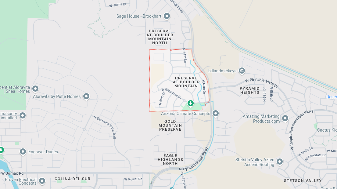
Google Maps
This suburban neighborhood of single-family homes in North Phoenix backs up to the Deem Hills mountain range.
Walk Score: 0
Bike Score: 32
Population: 1,087
Tie-1. Pyramid Heights
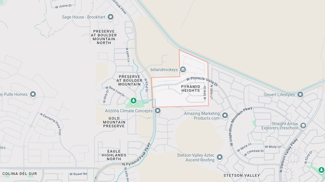
Google Maps
This neighborhood is right next to the Preserve at Boulder Mountain and has very similar features.
Walk Score: 0
Bike Score: 40
Population: 566
Tie-1. Foothills Reserve

Google Maps
This neighborhood is at the base of South Mountain in the western corner of Phoenix’s Ahwatukee neighborhood.
Walk Score: 0
Bike Score: 22
Population: 1,156
Tie-4. Dobbins Creek
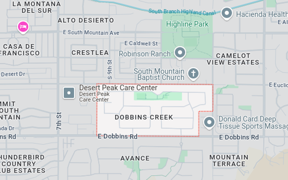
Google Maps
This neighborhood is in South Phoenix near the base of South Mountain. It has a community park and is near the South Mountain Baptist Church and Highland Park.
Walk Score: 2
Transit Score: 40
Bike Score: 42
Population: 752
Tie-4. Laveen Ranch
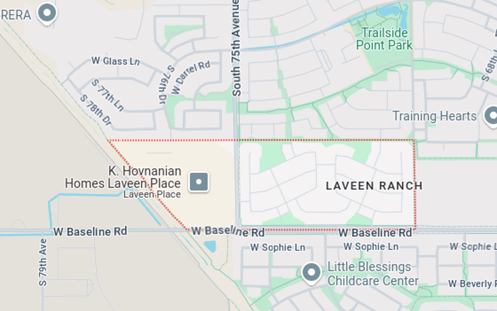
Google Maps
This neighborhood is in Laveen’s western corner of Maricopa County.
Walk Score: 2
Transit Score: 28
Bike Score: 42
Population: 830
Tie-4. Laveen Meadows
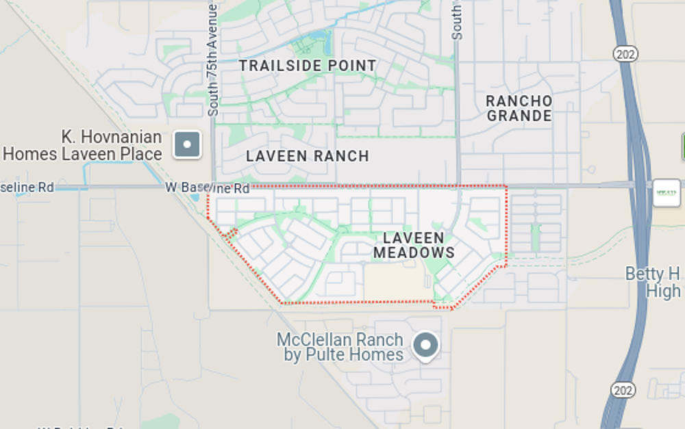
Google Maps
Just south of Laveen Ranch, this neighborhood also is home to many single-family homes. Western Maricopa County’s Desert Meadows School and Laveen Meadows Park also are found in this neighborhood.
Walk Score: 2
Transit Score: 27
Bike Score: 45
Population: 2,466
7. Mountaingate North
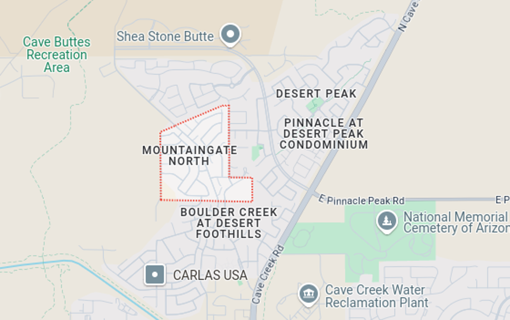
Google Maps
This Cave Creek neighborhood in North Phoenix is full of single-family homes. It is just south of Phoenix’s Cave Buttes Recreation Area and Falcon Mountain.
Walk Score: 3
Bike Score: 31
Population: 897
Tie-8. Dove Valley Ranch
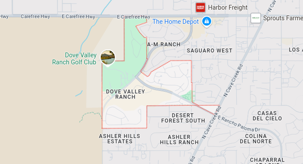
Google Maps
This north Cave Creek neighborhood borders a mountainous area. It also is home to the Dove Valley Ranch Golf Club and Dove Valley Park.
Walk Score: 4
Bike Score: 38
Population: 1,784
Tie-8. Colina del Norte
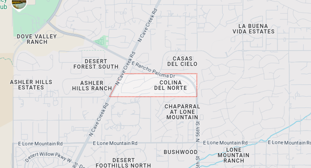
Google Maps
This neighborhood is just southeast of Dove Valley Ranch in Cave Creek.
Walk Score: 4
Bike Score: 32
Population: 515